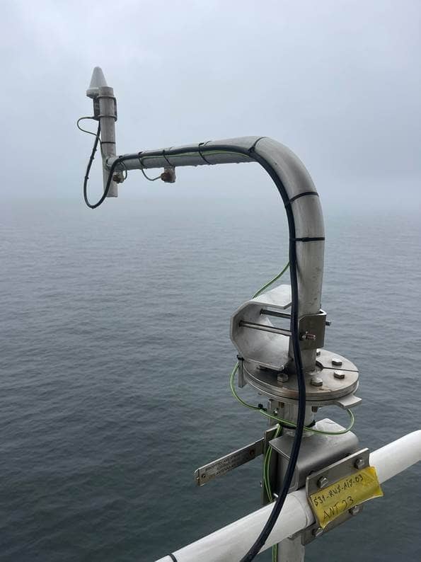
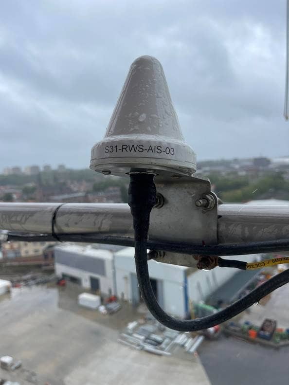
Automatic Identification System (AIS) is a system that increases the safety of shipping. The purpose of AIS is to enable good communication between skippers and between skippers and traffic posts.
AIS is a fast, accurate and practical way of exchanging information. Depending on the location and the weather, ships are visible over a distance of a few kilometers. AIS provides information about the current position, destinations, crew and dimensions of the ship. This allows timely anticipation of encounters with other ships, so that they can be passed safely. Since 2013, Rijkswaterstaat has built up a nationwide AIS monitoring infrastructure along the main waterways (corridors) and other waterways.
AIS-data North Sea
AIS-data is privacy sensitive. Rijkswaterstaat must comply with laws and regulations when using and sharing AIS-data. This is different at sea than on inland waters. Rijkswaterstaat does collect the AIS-data at sea, but only the Coast Guard can decide whether, with whom and under what conditions the data can be shared. The Coast Guard is also bound by privacy rules. In the surrounding North Sea countries there are less restrictions for the use and sharing of AIS-data.
Specific requests for AIS-data for scientific research can be submitted to digitalenoordzee@rws.nl. Depending on the purpose of the investigation, the Coast Guard will decide whether the request will be honored. If this is the case, the applicant must sign a data supply agreement.
AIS-data Inland waters
AIS was originally developed for maritime shipping. In 2014, it was also introduced for inland shipping in the Netherlands. By receiving signals from antennas on land, waterway managers can also use AIS-data for shipping traffic management. To view this data, a request can be submitted to: loket-fb-vwm@rws.nl.
Historical datasets for inland shipping can be requested via: Informatiepuntwvl@rws.nl.
Image: Bjorn van den Brule

