The increasingly intensive use of the North Sea has led to a greater demand for information about the current and future conditions on, above, below, and in the water. The facilities needed to meet this demand are still in their infancy in the North Sea. This presents a significant digitalization challenge. On this page, we explain how Rijkswaterstaat contributes to this effort.
The North Sea is a hub of activity
The North Sea is one of the most intensively used seas in the world. It is home to major shipping and aviation routes, as well as unique natural areas. Fishing takes place there, and oil, gas, and sand are extracted. Military exercises occur in the region. The seabed contains pipelines and cables. Additionally, more and more wind farms are appearing along the coast.
The need for information about the North Sea is increasing
Intensive use puts immense pressure on the North Sea. To accommodate all functions while keeping the North Sea safe, livable, and accessible, we need much more information about its usage and condition than is currently available. Developments in the North Sea are progressing rapidly, and complexity is increasing. This leads to a growing demand for information, as well as an increasing need for communication.
Standardization in the IV at Sea Program
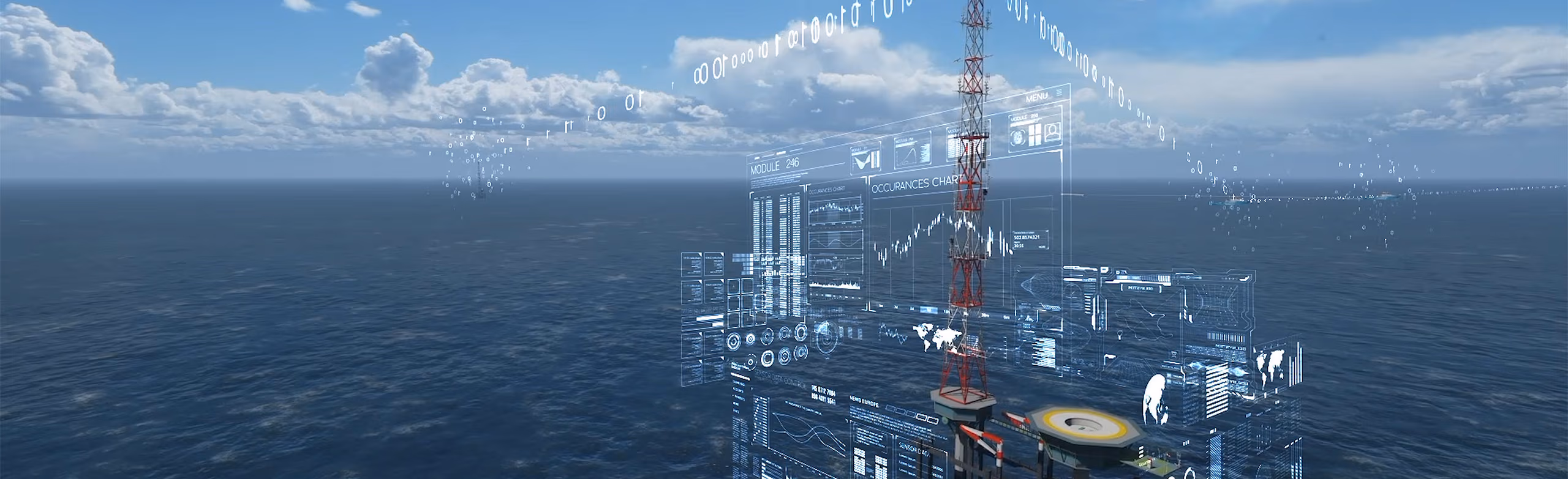
Under the initiative "Information Provision (IV) at Sea," the Central Information Provision (CIV) division of Rijkswaterstaat is developing the necessary infrastructure to meet the growing demand for information and communication. This includes sensors that collect crucial data, locations for those sensors, and data delivery services.
The IV at Sea program consists of multiple projects, each contributing in its own way to providing information about the North Sea and its usage. The program ensures a uniform and standardized approach to bundling data-driven products and IV services for the North Sea. This helps save costs and prevents the need for everyone to develop solutions independently.
Implementation partner for the Offshore Wind Energy Program
The foundation of the IV at Sea program is the Maritime Information Provision Service Point (MIVSP). Through this project, Rijkswaterstaat establishes, operates, and manages the physical and digital infrastructure required to collect and distribute data in and around the wind farms being developed as part of the Offshore Wind Energy program.
The standardization and bundling of digital research and monitoring techniques are also part of the IV at Sea program. This helps support Rijkswaterstaat in its coordinating role for the research and monitoring programs Monitoring and Research on Nature Enhancement and Species Protection (MONS) (commissioned by the North Sea Consultation), Offshore Wind Ecological Program (Wozep) (commissioned by the Ministry of Climate and Green Growth), and the Monitoring and Research Program on Maritime Safety in Offshore Wind (MOSWOZ) (commissioned by the Ministry of Infrastructure and Water Management).
Through these initiatives, Rijkswaterstaat contributes to the integrated development of knowledge about the North Sea. This includes insights into the effects of the energy, food, and nature transition (MONS), the ecological effects of offshore wind energy (Wozep), and the impact of offshore wind energy on maritime safety (MOSWOZ).
Through the Digital transformation of Ecological Monitoring (DEM) project (commissioned by the Ministry of Climate and Green Growth and the Ministry of Agriculture, Fisheries, Food Security, and Nature), we use digital instruments, methodologies, and technologies to make ecological monitoring by the national government more efficient, sustainable, and easier to implement.